

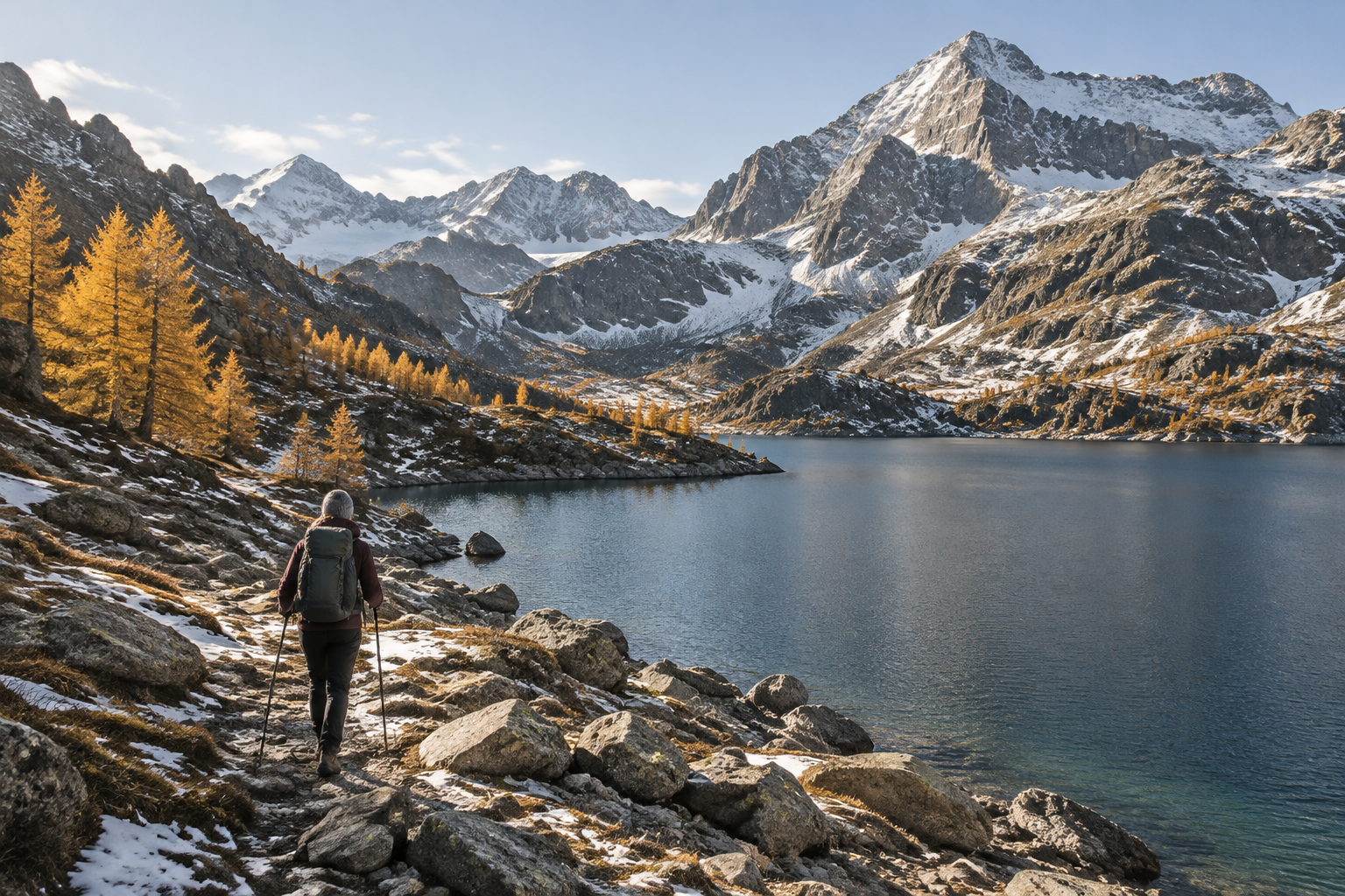
Lac Sainte-Anne: hike above Ceillac before the snow
Above Ceillac's last larches, a rocky bowl at 2,414 m holds the Queyras's largest glacial lake. The path is reported passable until 1 November, snow permitting: you have two weekends left to head up.
Above Ceillac's last larches, a rocky bowl at 2,414 m holds the Queyras's largest glacial lake. The path is reported passable until 1 November, snow permitting: you have two weekends left to hike up and see a lake that scientists are only just beginning to understand.
At a glance
- What: loop hike to Lac Miroir and Lac Sainte-Anne, with key pointers to understand how the lake works.
- Where: Ceillac, Mélézet valley, in the Queyras.
- When: route passable from 01/06 to 01/11/2026, daily, depending on snow conditions and weather.
- Who for: fit hikers comfortable with a steep climb. From the Chaurionde car park: 500 m elevation gain, around 2 hours of walking. Dogs welcome on a lead.
From the foot of the Mélézet to Lac Miroir: the energetic morning loop
The most demanding start is at the foot of Le Mélézet, in the Ceillac ski lift car park. The loop follows the GR5, the great Lake Geneva to Mediterranean trail, and the gradient hits you immediately: a steep zigzag climb through larch forest up to the Prés Soubeyrand valley. In late October, these trees turn to gold before shedding their needles. The steep climb gives you plenty of time to take them in.
Lac Miroir, just next to Sainte-Anne, marks the first proper break. If you only have a morning, drive instead up to the Chaurionde car park at the head of the Mélézet valley: that is the standard, shorter access. The hardiest walkers will start from the village of Ceillac along the GR5, from the Ubac bridge.
Midday at 2,414 m: a 23-metre-deep lake that still raises questions
The lake opens up in a barren rocky landscape, without a single tree to break the wind. Set up your picnic in the lee of a boulder and take a closer look at the water. According to Le Dauphiné Libéré, this body of water, barely studied until now, is currently being investigated by the Geode laboratory at Université Toulouse Jean-Jaurès, affiliated with the CNRS. Emmanuel Chapron led an initial survey here in June 2025.
Depth soundings carried out across 2 km reveal an uneven bed split into two basins, reaching a depth of 23 m. Researchers consider it likely that the lake is fed from below. Three questions remain unanswered: where the water comes from, where it drains to, and why the water level has dropped sharply. As you walk round the shores, look out for the old waterline marks: you are looking right at what scientists are trying to explain.
Do not think of checking the depth yourself: a municipal decree bans swimming, diving and water sports in all of Ceillac's lakes. The lake also has its own tradition: every 26 July since 1699, a pilgrimage ascends from the village, with an 11:00 mass and a procession arriving from Maljasset on the Ubaye side.
Head down early, then finish the day around Guillestre
Do not linger on your way round the rest of the loop. The steep switchbacks are easier on fresh legs, before shadows take over the valley. In summer, Col Girardin offers views of the Écrins and the lake below. In late October, leave it for another trip once snow has dusted the summits.
By car, Guillestre is 15 km away via the D 60 and D 902. You have ample time to fit in a visit or a good dinner before hitting the road.
Late October in the Queyras: our tips for the ascent
- Set off early: days are getting shorter, and the cold sets in as soon as the sun leaves the valley floor.
- Pack a lightweight down jacket, a warm hat and gloves. Above 2,400 m, you cool down fast during a stop.
- Add walking poles and microspikes: in the shade, an icy path makes the descent slippery.
- Keep a headtorch in your pack, even for a day trip. For everything else, follow our checklist for packing your daypack.
- The day before, contact the Ceillac tourist office to check snow conditions. If snow has settled, the trip is done on snowshoes: the ice then stays thick until spring.
More outing ideas in the Guillestrois-Queyras and in our hiking section.
Our local addresses
- Place forte de Mont-Dauphin: fully listed as a UNESCO World Heritage site and managed by the Centre des monuments nationaux, open to visitors all year round, ideal for ending the day.
- Les Tables de Gaspard: in Saint-Crépin, creative cooking from chef Ivan Labrador, served in a 16th-century dining room, with guest rooms to stay overnight.
- Bureau des Guides en Queyras: based in Saint-Véran, providing guiding for ski touring and ice climbing in winter, perfect for returning to the massif once the snow arrives.
Practical information
- Access: foot of Le Mélézet in Ceillac, 15 km east of Guillestre via the D 902 and D 60. More info
- Parking: Ceillac ski lift car park, GPS 44.650865, 6.790787. More info
- Route: Lac Miroir and Lac Sainte-Anne itinerary. More info
- The lake: altitude, summer and winter access. More info
- Regulations: swimming, diving and water sports prohibited in all lakes in Ceillac. More info
- Pilgrimage: every 26 July, departing from the village of Ceillac. More info
Practical questions
Can you still hike up to Lac Sainte-Anne in late October? Yes. The route is reported passable daily until 1 November 2026, depending on snow conditions and weather. After that, the lake is under snow and requires snowshoes.
Can you bring a dog? Yes, provided it is kept on a lead for the entire route.
Can you fish in the lake? Yes, with a permit available on cartedepeche.fr or from tourist offices. Rates vary depending on the family member.
Source : Le Dauphiné Libéré, 20 October 2026
Further reading
Hiking & trail running
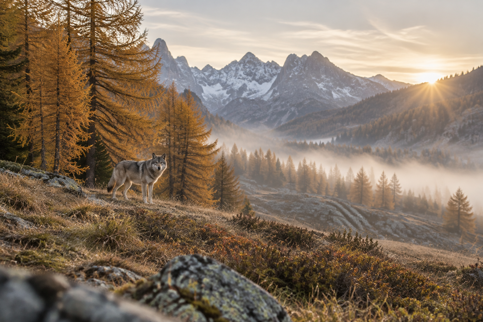
Six years tracking a she-wolf in the Briançonnais
For six years, Corentin Esmieu watched the same she-wolf in a valley in the Briançonnais, without camera traps, relying solely on direct observation. The film he co-directed with Baptiste Deturche, Louve, une vie dans les Alpes, hits cinemas on 4 November 2026; the she-wolf herself remains out of reach, and that is just as it should be.
Hiking & trail running
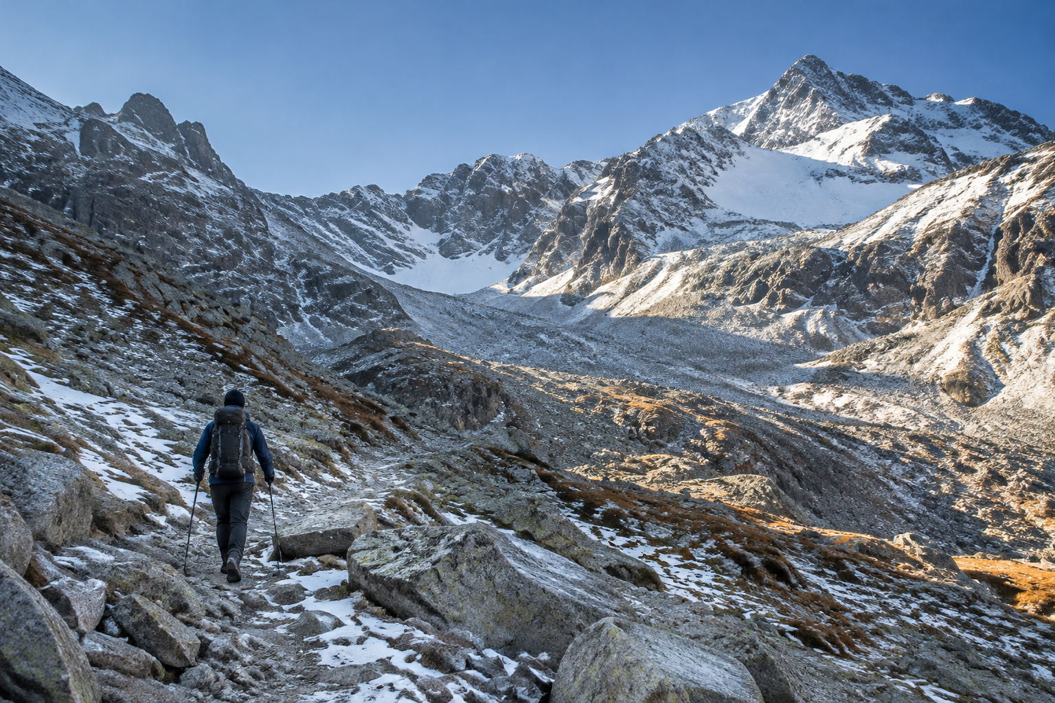
Traversette Tunnel: the gate is shut until 2027
On the French side, the gate installed in 2023 once again bars the entrance to the oldest tunnel in the Alps, bored in 1480 beneath the Col de la Traversette. Winter has gripped the Upper Queyras since 18 October: no more hikers will pass through to Italy before late spring or early summer 2027.