

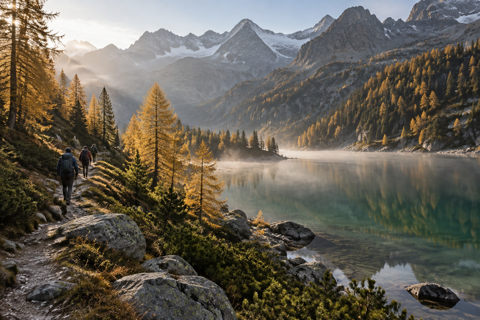
Lac de l'Orceyrette: the golden larch loop
Beside the Orceyrette at 1,927 m, larches turn yellow alongside dark green stone pines and emerald water. Above Briançon, this lake nicknamed 'little Canada' can be reached on an easy two-hour walk or tackled as a proper hike.
Beside the Orceyrette at 1,927 m, the larches turn yellow while the Swiss stone pines keep their dark green needles and the water takes on an emerald tint. Above Villard-Saint-Pancrace, this lake nicknamed 'little Canada' can be reached in two hours of easy walking, or as a proper mountain outing if you choose the longer route.
At a glance
- What: a loop around Lac de l'Orceyrette, in the Bois des Ayes biological reserve, with a longer variation via the Sentier de la Taure.
- Where: Plan Peyron, Ayes valley, commune of Villar-Saint-Pancrace, above Briançon.
- When: now, while the larches are yellow; preferably in the morning.
- Who for: the lake loop is very easy (4.02 km, +88 m, 2 hrs) and suits families; the variation (around 8.5 km, +380 m) suits regular walkers.
From Plan Peyron to the spillway, along the stream
You start from the dirt car park at Plan Peyron. Cross the Orceyrette torrent at the sign marking the entrance to the Bois des Ayes reserve. Then follow the stream on the right for about 2 km up to the spillway. Walk round the lake to the left, skirting the wetland upstream. You return along the lakeside track, then retrace your steps along the outbound path.
The route stays between 1,863 and 1,942 m in altitude, requiring little serious effort. Take your time nonetheless: pontoons are set up for photography, and the fishing pontoon is accessible to people with reduced mobility. According to Nos Alpes, some Swiss stone pines are over 600 years old. Watch the branches too: the spotted nutcracker gathers pine nuts from them, then buries them in the soil. Fans of Alex Hugo will recognise a filming location from the series.
For the legs: La Taure or the climb from the Centre Montagne
If two hours feels too short, add the educational trail of La Taure. It starts in the Plan Peyron area, with panels explaining the natural environment. Combined with the lake loop, that gives around 8.5 km and 380 m of elevation gain. That makes a solid half-day for a seasoned walker, with no technical difficulties.
More energetic walkers can leave the car down below. From the Centre Montagne, the Sentier du Mélézin climbs for around 9 km. The old road, reserved for walkers and cyclists, covers about 7 km. It is the best option on a mountain bike or e-mountain bike; see our section on cycling and mountain biking. The descent is your reward.
October in the Ayes valley: road access, crowds and light
Out of season, access is simpler. Summer restrictions apply only in July and August: a 2.10 m vehicle height barrier, and cars prohibited between 10:00 and 15:00 between the hamlet of Les Ayes and the lake. From Villard-Saint-Pancrace, allow 20 minutes. Take the D236 towards "Centre Montagne/Les Ayes", then take the first fork to the left in the woods towards "Les Ayes". The road, partly paved, passes the chalets of Les Ayes and reaches Plan Peyron.
The best window is the morning. Low-angled sunlight illuminates the larches, and you arrive ahead of the weekend picnickers. On busy days, traffic can be restricted: you will then need to park lower down and finish on foot or by bike. From the car park before the hamlet of Les Ayes, around 3 km of walking remains. To link this with other outings in the area, see our page on the Briançonnais.
Our tips for the autumn loop
- Dress in layers. Close to 1,900 m in October, forest shade stays cold in the morning, even in fine weather. Pack thin gloves, a beanie and a lightweight down jacket. Our checklist on packing your rucksack will help you remember everything.
- Download the GPX track the day before to follow the route offline, especially if you add La Taure.
- Stay on the paths. Managed by the ONF, the biological reserve is also a Natura 2000 site with specific regulations. These protect nesting woodpeckers, nocturnal raptors such as the Eurasian pygmy owl and Tengmalm's owl, as well as the black grouse.
- Check the fire risk before bringing sausages. Fire pits and barbecue spots are freely accessible, unless prohibited by prefectural decree.
- Pick up a fishing permit if you plan to cast a line: fishing is permitted, provided you follow local rules.
Our local addresses
- Auberge de la Paix: 13 rooms in Briançon's Vauban Citadel, open all year and certified Accueil Vélo, handy if you cycle up to the lake on a mountain bike.
- Le Pêché Gourmand: a 20-cover restaurant in Briançon, serving seasonal food centred on alpine lamb and beef.
- Les Grands Bains du Monêtier: indoor and outdoor thermal pools, from 17 °C to 40 °C, to soothe tired legs on the way back. Check opening dates in advance.
Practical information
- Information: Bureau d'information touristique de l'Izoard, 06 07 07 31 08, izoard@hautesvallees.com. More info
- Route description: Lac de l'Orceyrette loop starting from Plan Peyron. More info
- GPX track: download before setting off. More info
- Access and Ayes valley regulations: on the municipality website. More info
- Bus: TUB line 3, La Chapelle stop. More info
- Emergency services: 112, or 114 by SMS. More info
Practical questions
Is bivouacking permitted beside the lake? Check before you go: call the Izoard tourist information office before planning an overnight stay.
Should you bring a picnic? Yes. There are picnic tables and a campfire spot beside the lake, and Plan Peyron is also a picnic area.
Source : Nos Alpes - Le nostre Alpi, 17 October 2026
Further reading
Hiking & trail running
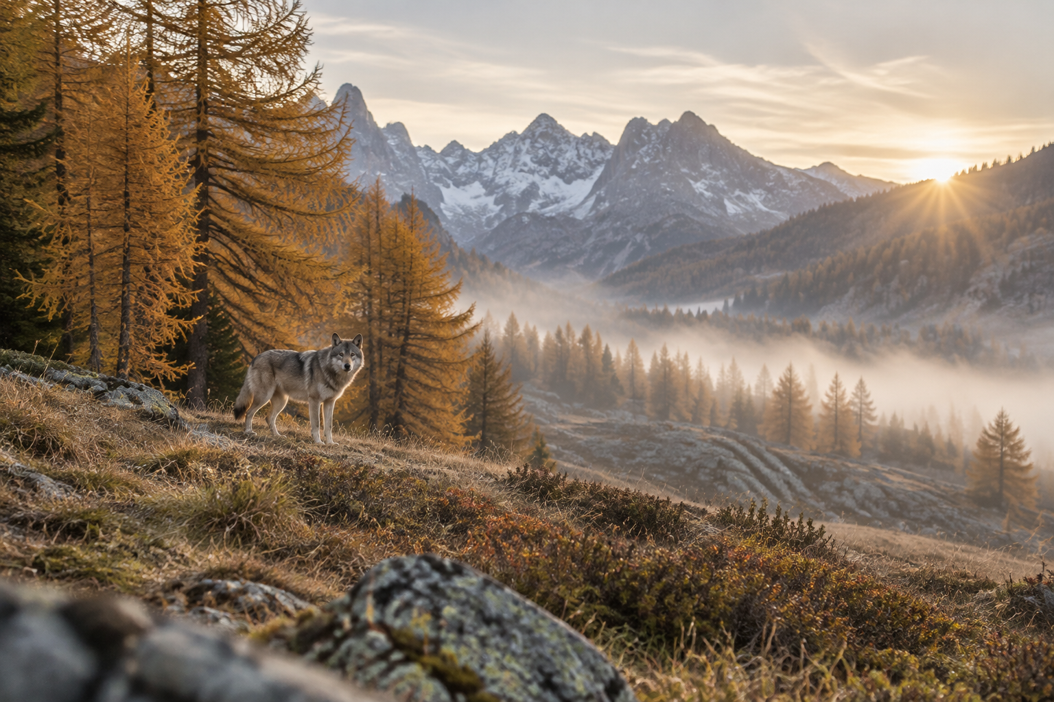
Six years tracking a she-wolf in the Briançonnais
For six years, Corentin Esmieu watched the same she-wolf in a valley in the Briançonnais, without camera traps, relying solely on direct observation. The film he co-directed with Baptiste Deturche, Louve, une vie dans les Alpes, hits cinemas on 4 November 2026; the she-wolf herself remains out of reach, and that is just as it should be.
Hiking & trail running
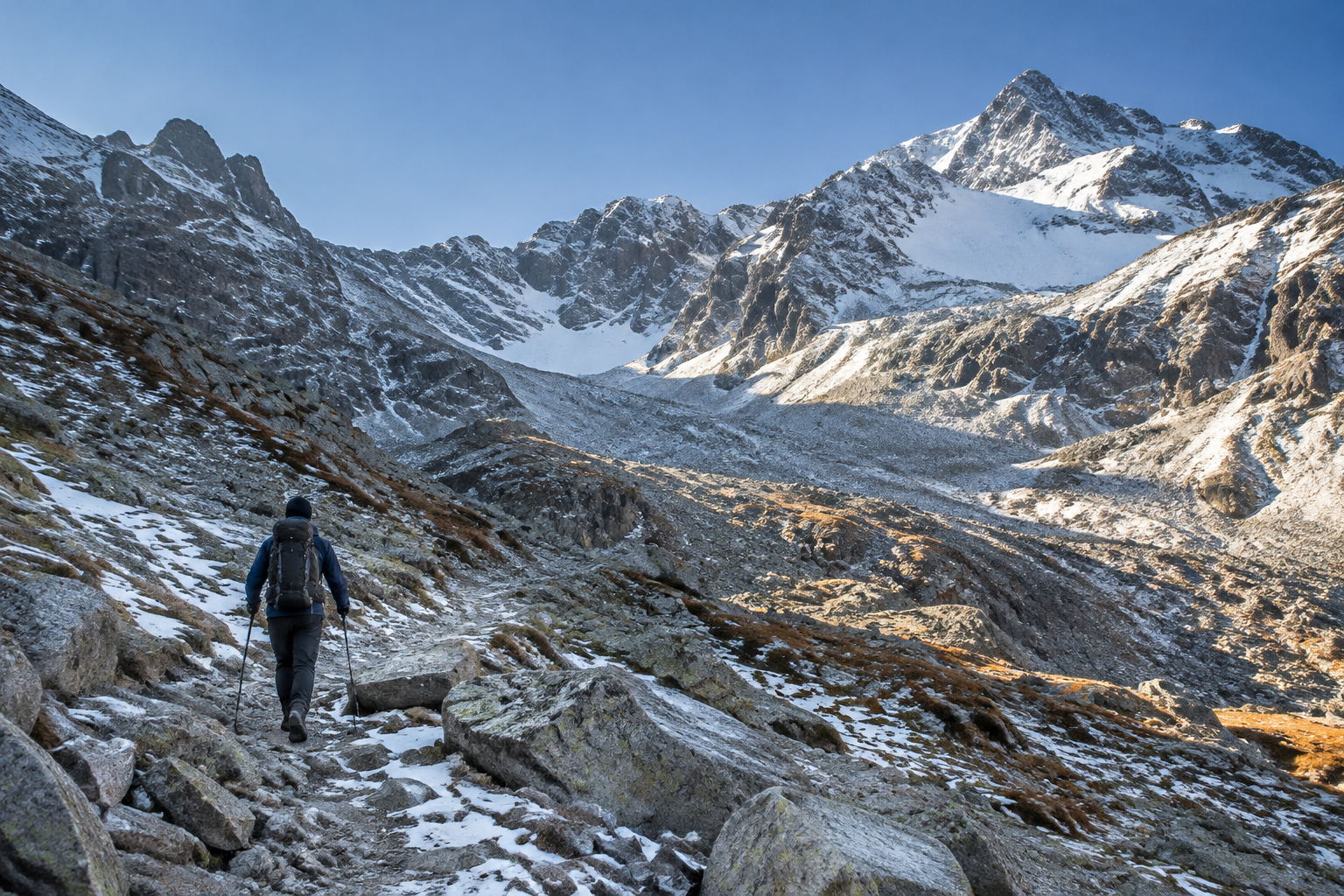
Traversette Tunnel: the gate is shut until 2027
On the French side, the gate installed in 2023 once again bars the entrance to the oldest tunnel in the Alps, bored in 1480 beneath the Col de la Traversette. Winter has gripped the Upper Queyras since 18 October: no more hikers will pass through to Italy before late spring or early summer 2027.